Educational Technologies at D-BAUG
This collection of educational technologies (EdTech) is used in teaching at the D-BAUG and contains free licences or ETH site licences available in the IT-Shop.
ArcGIS Online
external page ArcGIS Online is a web GIS that allows you to build maps, conduct spatial analyses, explore online content – from anywhere on any device. An ArcGIS Online named user account from ETH is required for access ETH's subscription external page https://ethz.maps.arcgis.com. Please order an account via ETH's IT shop.
In addition, it is the access point for many other apps including, amongst others:
- ArcGIS external page Survey123: Smarter forms, smarter data collection
- ArcGIS external page Field Maps: View, collect and edit data on iOS and Android mobile devices
- ArcGIS external page Dashboard: Monitor and visualize data and perform descriptive statistics in real-time
- ArcGIS external page StoryMaps: Disseminate research findings.
An ArcGIS Online named user account can also provide access to e-learning resources in the Esri Academy.
If you have any questions about technical details, please contact .
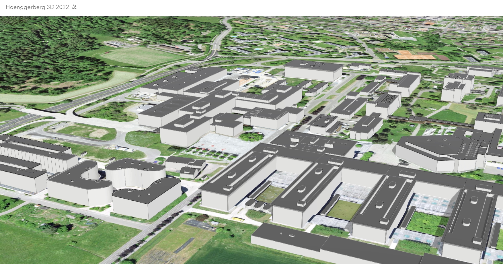
Smart Campus with Indoor GIS
ETH also has its university campus as a digital twin or smart campus. A geographic information system for the outdoor environment as well as indoor spaces (indoor GIS) enables users to visualize, analyse, and manage all data relating to the campus and its facilities in one place.
The indoor positioning system in combination with indoor tracking enables the visualization of the user's live position within the facility as a blue dot on the mobile map. Knowing the exact location helps users to immediately understand their surroundings and know where to go. Selecting a destination on the map gives the user the fastest/accessible route with turn-by-turn directions to guide them. Monitoring the blue dot helps them stay on the right path and navigate to their destination in real-time.

For further information check out the following articles: