Geospatial Engineering

Recording, analysing, and visually representing the space we live in
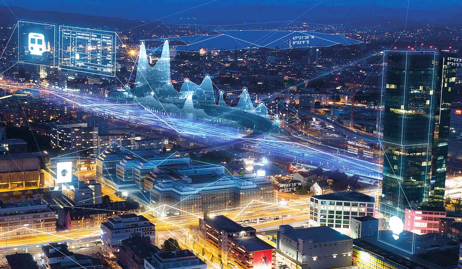
Our graduates represent the space we live in using digital models. They use a very wide variety of measuring systems, data sources and methods to record, analyse, and visually represent spatial information. Daily life, but also addressing big challenges such as climate change, urbanisation and nutrition would be unthinkable without them.